Overview
AiDASH is an enterprise geospatial AI platform that uses satellite imagery, multisource data fusion, and pre-trained AI models to monitor and manage geographically distributed critical infrastructure (utilities, pipelines, telecoms, water, and land sites). Core products include the Intelligent Vegetation Management System (IVMS), Integrity & Encroachment Management System (IEMS), Biodiversity Net Gain Management (BNGAI™), wildfire and climate risk products (CRIS/WMPS), and integrated web + mobile workflows for planning and field execution. The platform emphasizes operational ROI, continuous network monitoring, risk scoring, and compliance/reporting support for asset-intensive industries. (Source: AiDASH website pages and product/resource articles)
Key Features
SatelliteVision (Remote Sensing)
Uses frequent satellite imagery (optical and SAR where applicable) to image entire networks and detect change over time for continuous monitoring.
Multisource Data Fusion
Combines satellite, aerial, historical records, and ground-truth inputs to create richer situational awareness and improve model accuracy.
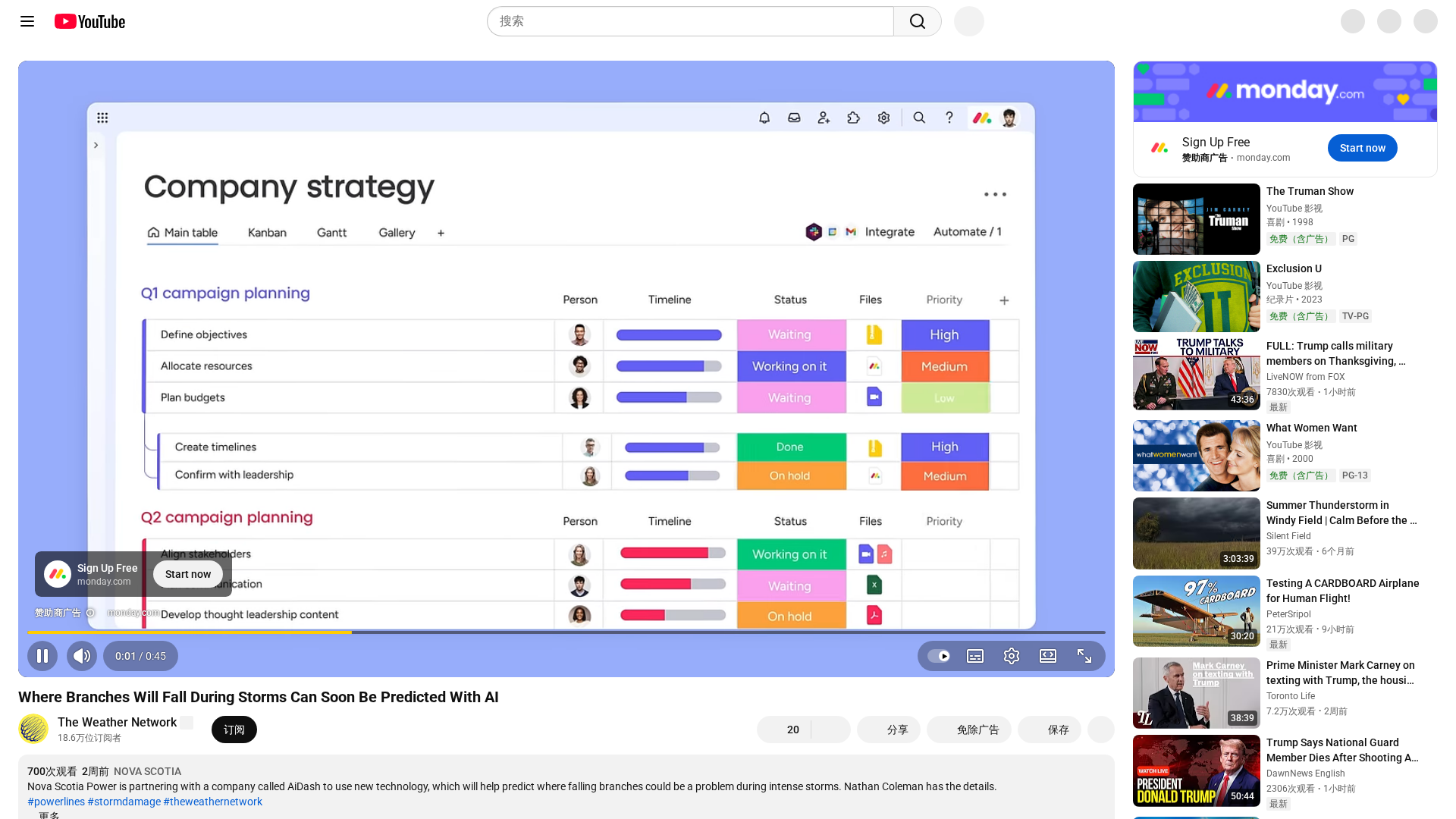
VegetationAI & IVMS (Intelligent Vegetation Management System)
Automated vegetation risk detection, hazard tree identification, budget-aligned prune-cycle planning, and optimized work plans to reduce outages and costs.
BNGAI™ (Biodiversity Net Gain Management)
Tools for baseline habitat assessment, monitoring, measurement, and reporting to streamline biodiversity net gain compliance and stakeholder reporting.
IEMS (Integrity & Encroachment Management System)
Near real-time detection and scoring of pipeline encroachments, land use changes, erosion, and unauthorized activity using satellite and aerial inputs.
Automated Workflows & Field Mobile Apps
Web dashboard and mobile-enabled work tracking with offline maps, task syncing, and field inspection workflows to close the loop from detection to action.
Who Can Use This Tool?
- Utilities:Monitor transmission and distribution networks, reduce outages, optimize vegetation spend and plan prune cycles.
- Pipeline Operators:Detect encroachments, land use changes, and integrity risks to prioritize inspections and reduce operational exposure.
- Local Authorities:Assess and monitor biodiversity net gain, baseline habitats, and meet regulatory reporting requirements efficiently.
- Telecoms:Monitor cell sites and tower infrastructure at scale using satellite imagery and automated change detection.
- Environmental Consultants:Rapidly baseline, monitor and report biodiversity and habitat condition across multiple sites for clients and regulators.
Pricing Plans
Pricing information is not available yet.
Pros & Cons
✓ Pros
- ✓Continuous satellite-first monitoring enabling full-network visibility (scalable across transmission and distribution networks)
- ✓Proven ROI claims (site cites ~10% reliability improvement, ~20% vegetation spend reduction, and rapid ROI in year one)
- ✓Broad product set for utilities: IVMS, IEMS, BNGAI, CRIS/WMPS and integrated web + field mobile workflows
- ✓Strong domain focus (utilities, pipelines, telecoms, water) and compliance/ reporting features for biodiversity and regulatory regimes
- ✓Integrations of multisource data (satellite, aerial, ground-truth) and pre-trained AI models to prioritize work and score risk
✗ Cons
- ✗No public pricing or self-serve purchasing—requires demo/sales engagement (less transparency for procurement teams)
- ✗Satellite approaches have lower near-inch resolution than LiDAR for very localized inspections (site acknowledges LiDAR strengths)
- ✗Implementation & change management required to integrate with field operations and existing asset management systems (onboarding implied)
- ✗Documentation, API details, and self-serve developer resources not publicly obvious on the website (Not found)
Compare with Alternatives
| Feature | AiDASH | Hosta A.I. | MokSa.ai |
|---|---|---|---|
| Pricing | N/A | N/A | N/A |
| Rating | 8.3/10 | 8.2/10 | 8.3/10 |
| Imagery Breadth | Multisensor satellite coverage | Photo-only property imagery | Camera-agnostic video feeds |
| Fusion Depth | Deep multisource fusion | Photo-centric limited fusion | Real-time video analytics fusion |
| Vegetation Insights | Yes | No | No |
| Biodiversity Tools | Yes | No | No |
| Integrity Detection | Yes | No | Partial |
| Field Mobility | Yes | No | No |
| Risk Forecasting | Yes | No | No |
| Integration APIs | Partial | Yes | Yes |
Related Articles (3)
Overview of YouTube's operations, feature testing, and NFL Sunday Ticket expansion.
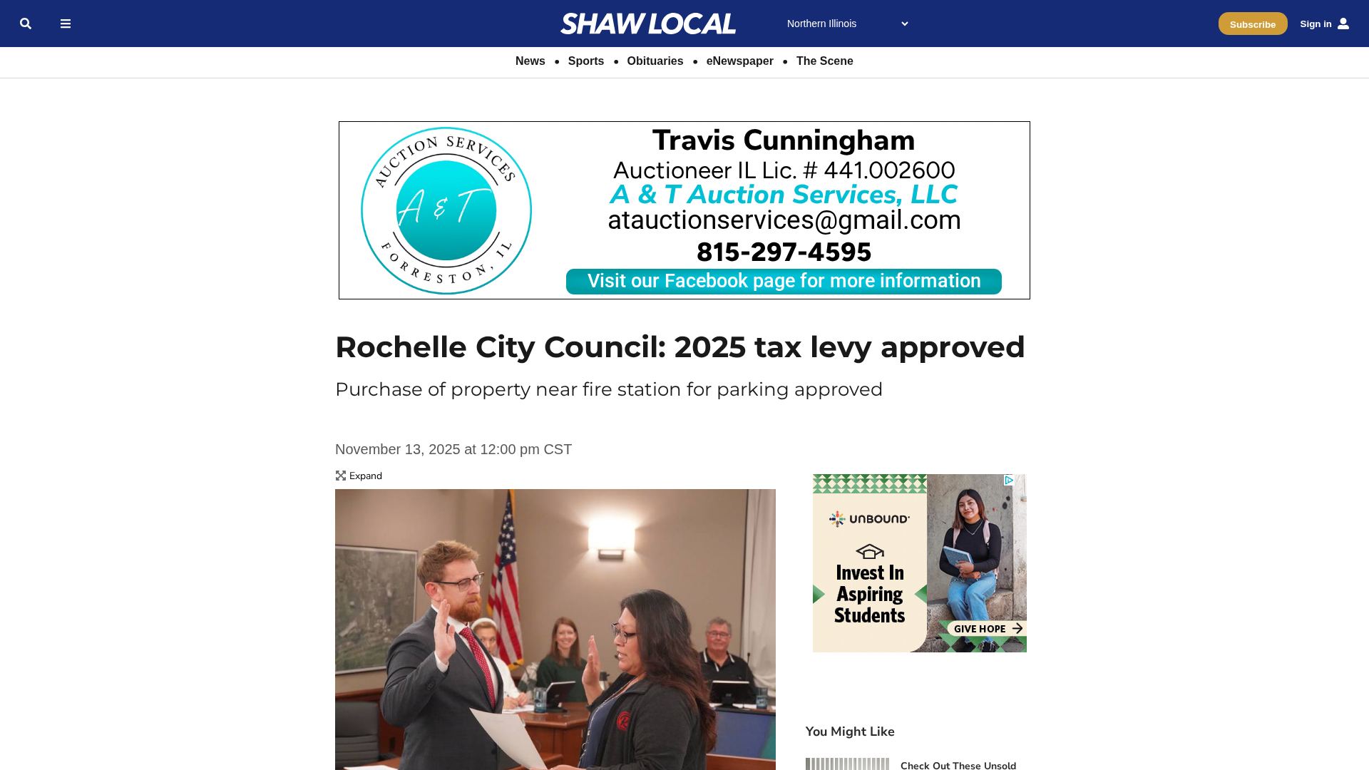
Rochelle approves 2025 tax levy, lowers the rate, and advances RMU upgrades, property purchases, and small-business support.
A practical, data-driven guide to wildfire risk reduction for utilities in 2025.